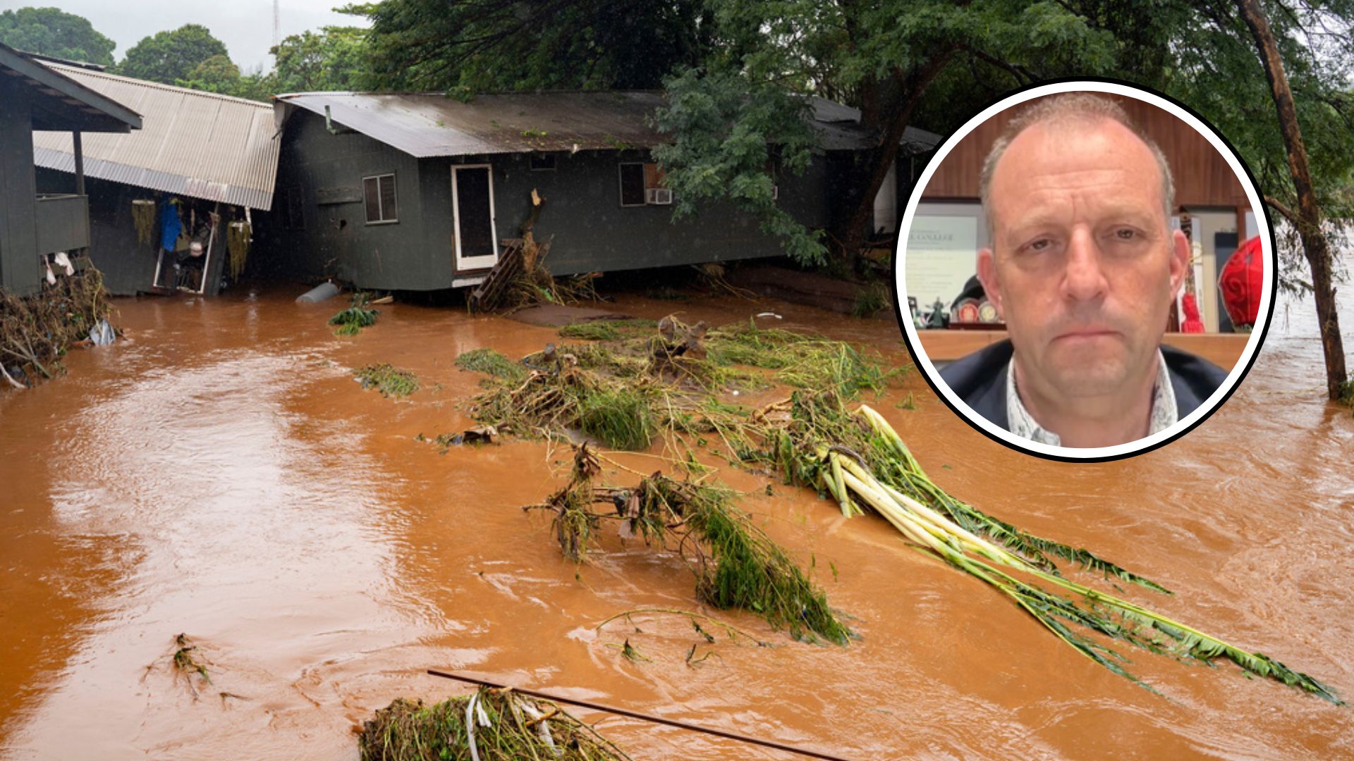
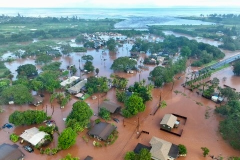
Heavy rain has drenched much of California for weeks, overwhelming rivers and causing flooding.
In Pajaro, crews typically used for putting out wildfires are now helping with flood response. Cal Fire was among the rescue groups brought in to to assist with rescues. Parts of the town were told to evacuate late last week due to flooding.
It might be days before the water recedes.
Additional rain is expected to pummel the entire state early this week. The National Weather Service placed some of the state under a moderate risk for excessive rain for Tuesday, and much of the state is also under a flood watch. The flood watch extends from Santa Barbara all the way into Oregon.
Much of California will have 2-4 inches of rain, with some areas getting over 6 inches by midweek. Melting snow from the mountains is also expected to exacerbate river flooding.

Severe flooding prompts evacuations and rescues in California
Several evacuation orders are in place in California as the state deals with intense flooding and heavy rainfall.
The Salinas River in the Central Coast region has remained well above flood stage, and while the National Weather Service says the water level could decline slightly today and tomorrow, additional rain will likely cause it to crest Thursday.
The storm impacting the U.S. West Coast is the latest of events known as atmospheric rivers.
“Atmospheric rivers are relatively long, narrow regions in the atmosphere — like rivers in the sky — that transport most of the water vapor outside of the tropics,” the National Oceanic and Atmospheric Administration said. “These columns of vapor move with the weather, carrying an amount of water vapor roughly equivalent to the average flow of water at the mouth of the Mississippi River. When the atmospheric rivers make landfall, they often release this water vapor in the form of rain or snow.”


