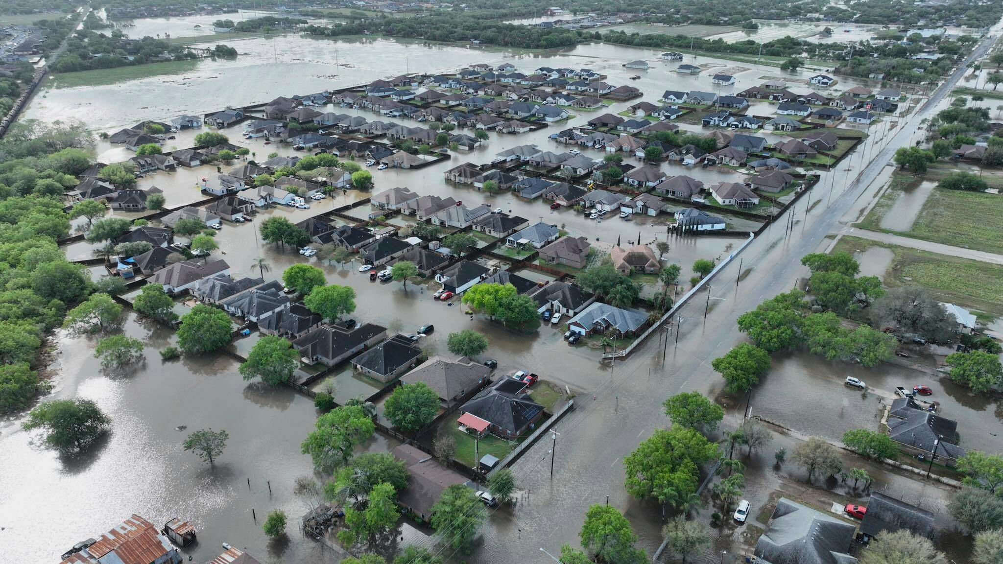
Tropical Storm Lee became the 12th named storm of the 2023 hurricane season on Tuesday, and is forecast to become a major hurricane.
On Tuesday, maximum wind speeds increased to 45 mph. The storm is expected to grow and organize over the next few days. Forecasters expect it will undergo rapid intensification and may be a major hurricane of Category 3 or higher by Friday.
"It is becoming a question of when and not if rapid intensification occurs with Lee," forecasters wrote on Tuesday.
Rapid intensification occurs when a storm increases the speed of its fastest sustained winds by 35 mph within a 24-hour period.
The primary driver of this behavior is high ocean water temperatures. On Tuesday, average sea surface temperatures in the North Atlantic were above 77 degrees Fahrenheit, two degrees warmer than the long-term average for this time of year.

What is the difference between a tropical storm and hurricane?
Although hurricanes have higher winds, tropical storms can sometimes have a bigger impact.
Lee is expected to encounter "extremely warm waters" by Friday, according to forecasters, which will fuel its intensification.
On Tuesday the storm was moving westward at about 16 miles per hour.
The National Hurricane Center says the Leeward Islands, Southeast of Puerto Rico, may see hazardous weather effects from the storm later this week. As of now, however, it's too early to forecast exactly where or how intense Lee's weather effects may be.


