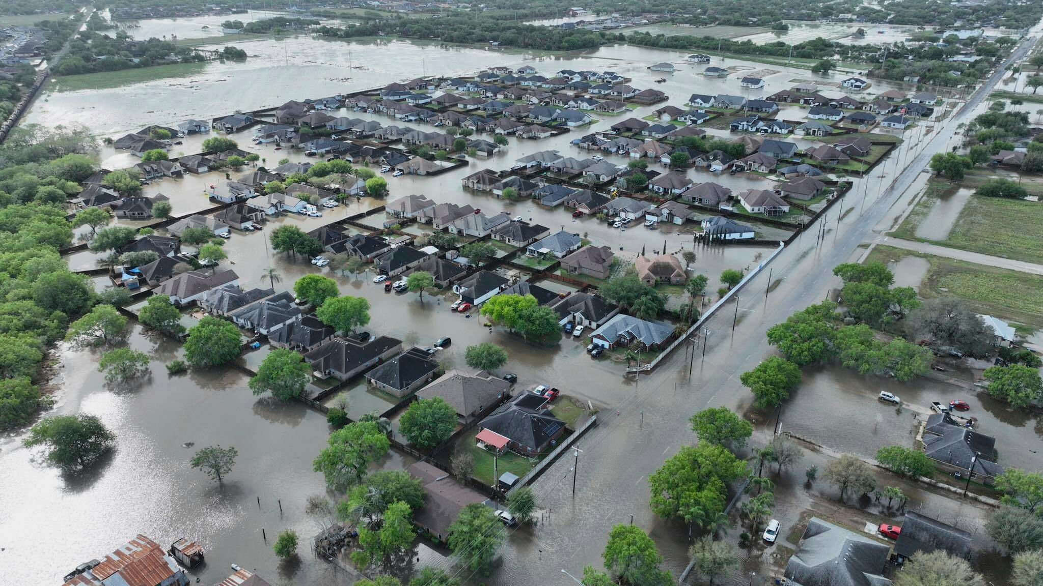
Weather can be hard to predict at times, and this year has been no exception.
As crews battle wildfires on Canada's Atlantic coast that have caused thousands of people to have to evacuate, hundreds of homes have already been reported as damaged. Travelers to Canada saw flight delays as they attempted to return home.
Farther towards Canada's Pacific coast, thick plumes of the smoke from those fires coming from Canada's Alberta province crossed into multiple U.S. states as far away as Montana, Idaho, Utah and Colorado.
Just as quickly as the fires came, it appears that rain will enter parts of Alberta caused by a Pacific cold front. Authorities and residents hope the rain will mitigate the blazes and that winds will push smoke away.
By Tuesday the National Weather Service was issuing advisories for multiple parts of the United States, including in parts of western Kansas in the Midwest and in northern Texas warning of severe thunderstorms in the afternoon and evening.
The NWS raised its risk level for these areas to "enhanced," especially in Garden City and Liberal, Kansas, and in Guymon, Oklahoma.
Parts of southwest Nebraska and eastern Colorado were expected to see possible thunderstorm wind gusts that could reach 75 mph in portions of the central and southern High Plains region.
Isolated hail and dry microbursts of precipitation were also expected for those areas where travelers often pass through by car, or over by plane.
The U.S. Department of Commerce warned that there could be a 40% chance of above-average temperatures in the Atlantic Ocean in 2023, where a lot of the country's trade happens. Meanwhile, the NOAA already predicted a "near-normal" hurricane season this year.
This year's hurricane season over the Atlantic will run from June 1 until Nov. 30.
In Florida and the Gulf of Mexico, communities still recovering from the Category 5 Hurricane Ian are expecting a possible area of low pressure that the National Hurricane Center says has a 10% - 20% chance of forming a tropical storm this week. It was unclear what damage that would do to recovery efforts in hard-hit Fort Myers Beach, Florida.
Hundreds of residents in portions of South Florida were left homeless when Hurricane Ian hit the coast of the U.S. eight months ago.
Meteorologists are already expecting this summer to bring sweltering heat. Judson Jones of the New York Times said a lot of factors come into play. The moisture of soil and ocean temperatures can play a role.
He says that meteorologists consider conditions on land, in the water and in the atmosphere to predict the forecast. Jones says that predictions don't show that parts of the North in the U.S. will be hotter than parts of the South, but they do point to how the chance of an "extra-hot summer" are higher this year in Arizona than they are in Michigan.
Forecasters in the nation's capitol say the Washington, D.C. area and the Mid-Atlantic region should see tolerable heat for the most part. It would be the third straight summer with such aprediction for the area.
In New England, residents and travelers there could see sweltering conditions over the summer months that would be quite the juxtaposition to some of the snow storms experienced in those areas last winter.

Carnival cruise ship battered by severe weather, rough seas
While some passengers and staff got hurt, no serious injuries were reported.


