For the second time in five days, millions of Americans will need to monitor severe weather as another storm system is expected to impact the central U.S. on Tuesday.
Nearly 64 million Americans face some risk of severe weather Tuesday, according to the Storm Prediction Center. According to the SPC, residents living near Springfield, Missouri, and Cedar Rapids, Iowa, face the highest risk.
“A large area of severe potential will develop today into tonight, from eastern portions of the Plains into the Missouri and mid/upper Mississippi Valleys. Strong, potentially long-track tornadoes are possible, in addition to large hail and damaging winds,” the Storm Prediction Center said Tuesday. “Both afternoon and overnight potential is expected across various regions, including the risk of dangerous nighttime tornadoes.”
According to Emily Thorton, meteorologist for the Storm Prediction Center, the highest risk for tornadoes Tuesday afternoon will be in eastern Iowa, northeastern Missouri, western Illinois and far southwestern Wisconsin. Tuesday night, the highest risk moves to eastern Oklahoma and Texas, western Arkansas and east-central Missouri.
The storm will move into the eastern Midwest on Wednesday, prompting severe weather concerns for areas including Chicago; Detroit; Cleveland, Ohio; and Louisville, Kentucky.

The US leads the world in weather catastrophes. Here's why
Nature dealt the United States a bad hand, but people have made it much worse by what, where and how we build.
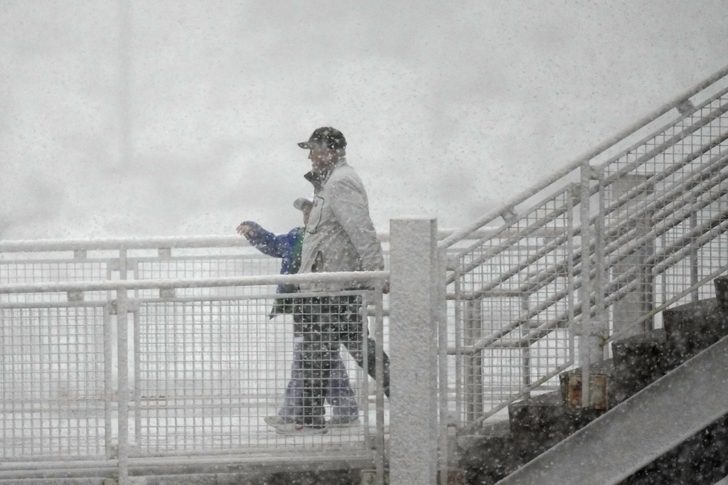
Besides severe weather, the storm is expected to bring blizzard conditions to the Dakotas and parts of Minnesota. These areas could experience 1-2 feet of snow by Wednesday night, the National Weather Service said.
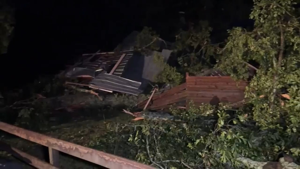
The National Weather Service is in the process of confirming 124 reports of tornadoes in the central U.S. from last Friday. That storm moved toward the east coast on Saturday, when 10 tornadoes were reported.
As of Tuesday morning, the strongest tornado from last week’s outbreak occurred near Keota, Iowa. That tornado produced EF-4 damage, with top winds reaching 170 mph.
The system also produced multiple EF-3 tornadoes. A total of 32 fatalities have been reported in association with Friday’s storms.


